Page summary
OME2 Project
OME2 is developing a new production process, technical specification and high-value, large-scale pan-European prototype. It is co-funded by the European Union.

Open Data
Open Maps for Europe is a new online service that provides free to use maps from more than 40 European countries.

EuroGlobalMap
EuroGlobalMap is 1:1 million scale harmonised European open data.

EuroRegionalMap
EuroRegionalMap provides multi-themed topographic open data at 1:250 000 scale.

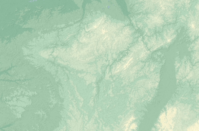
EuroDEM
EuroDEM is a 1:100 000 scale digital open data elevation model providing height data.
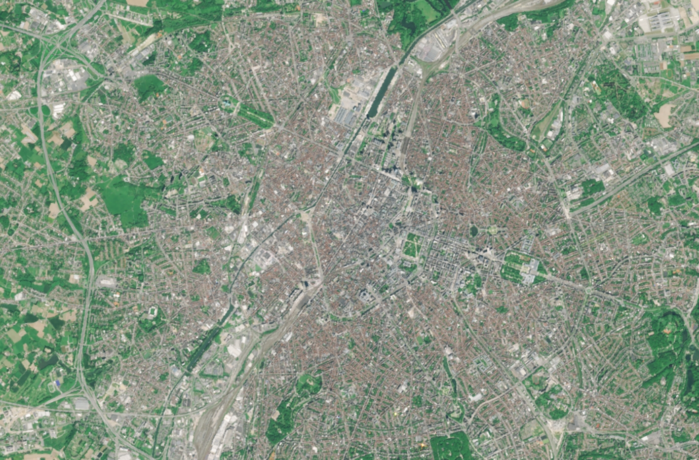
Pan-European Imagery
10 metre resolution high-quality open data images and mosaics as uniform reference products for mapping and visualisation
Open Gazetteer
An open gazetteer service providing authoritative multilingual geographical names.

Open Cadastral Map
Open Cadastral Map prototype. First iteration includes Poland, The Netherlands, Czech Republic and Spain.

Licensed Data
Created using official map, geospatial and land information from European National Mapping, Cadastral and Land Registration Authorities.

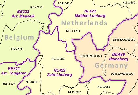
EuroBoundaryMap
EuroBoundaryMap is a 1:100 000 scale dataset of official administrative and statistical regions covering 56 European countries and territories.
National authoritative data
National authoritative data
EuroGeographics facilitates access to official, reliable, comparable and verifiable geospatial data from the European National Mapping, Cadastre and Land Registry Authorities.
Use our map to find out what national data is available from our members.
Open Maps For Europe & OME2
Free to use open data created using official map, geospatial and land information from official, national sources. The Open Maps For Europe project, which was completed in December 2022, was co-financed by the Connecting Europe Facility of the European Union.
Pan-European administrative boundaries
EuroBoundaryMap enables the exact matching of administrative areas in 56 European countries and territories using geospatial data from 39 EuroGeographics members. Available at 1:100 000 scale, it contains geometry, names and codes of administrative and statistical units, and links to the updated statistical LAU- and NUTS-codes for all local administrative units of EU Member States.
About our pan-European datasets
Our data integration process is unique, and a particularly important example of international collaboration in the geospatial area.
With the exception of the pan-European open data imagery dataset, which is updated every three years, our pan-European datasets are updated annually and harmonised to standard specifications, so users can be confident that the information provided is consistent, comparable and easily shared — regardless of its national source.