Joint PCC-EuroGeographics Conference and Plenary
| 04 November 2025
Date
04 November 2025 26 March 2026
Hours
From 12:00 am to
Location
Ved Stranden 14, 16, 9000 Aalborg
Google Maps
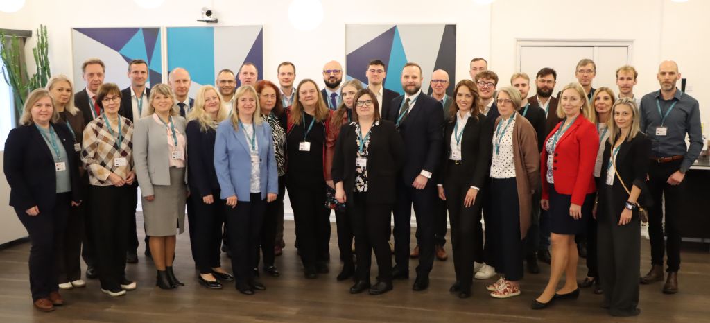
This joint conference will be held on 4th-5th November 2025 under the EU Presidency of Denmark at the Radisson Blu Limfjord Hotel in Aalborg, kindly hosted by the Danish Geodata Agency. Please find the invitation here.
Practical information:
- Venue address: Ved Stranden 14, 16, 9000 Aalborg
- Nearest airport: Aalborg Airport, 20-30 minutes from the hotel by public transportation.
- Accommodation: There are 60 rooms pre-booked at the same hotel. Deadline for room booking has been extended till 1st October.
More details on practicalities are available in this document.
In the evening of November 3rd, an ‘Ice-breaker’ session will be held at the Geodata Agency’s premises in Lindholm Brygge.
On November 3rd a meeting of the CLRKEN will be held in the afternoon.
The draft agenda is available here.
NEW! If you wish to follow the conference online, please do register here. It will be open as hybrid event.
Programme
| Presenter | Presentation | |
|---|---|---|
| Presentations Day1 | ||
| Jesper Nørgaard Andersen | Introduction of the Danish Geodata Agency | Download |
| Jess Svendsen Pia Åbo Østergaard, DGA | Danish cadastre Part 1 Danish cadastre Part 2 | Download |
| Jørgen Skrubbeltrang, Simon Reimers DGA | Danish basic data | Download |
| Vents Priedoliņš, SLS Latvia | Land reform in Latvia: From shared by force to owned by right | Download |
| Irma Lähetkangas, Finland | Climate smart Land Consolidation | Download |
| Uffe Jimenez Ravn-Christensen, the Agency for Green Transition and Aquatic Environment | Land Consolidation As A Tool In The Green Transition | Download |
| Martin Engsig, DGA | Improving the quality of coastal boundary lines in the cadastral map | Download |
| Magdalena Andersson, Lantmäteriet, Sweden | Use of cadastral information in environmental related processes – including for land, water and marine management | Download |
| Torben Juulsager, the Danish Association of Chartered Surveyors | Land Surveyor Business Areas in Planning and Realization of Renewable Energy Plants. Use of Cadastral Information | Download |
| Pia Åbo Østergaard, DGA | Use of historical maps for climate adaptation | Download |
| Presentations Day 2 | ||
| Martin Salzmann, Kadaster, The Netherlands | Cadastres in times of change in the environment | Download |
| Rocio Rodriguez Molina, DG Catastro Spain | Cadastral information as support for natural disaster management | Download |
| Cristina Telpiz Burlac and Diana Grosu, Agency for Geodesy, Cartography and Cadastre Moldova | Cadastral and Spatial Data for Climate Resilience in the Republic of Moldova | Download |
| Patricia Sokacova, EuroGeographics | EuroGeographics updates | Download |
| Panos Lolonis, Hellenic Cadastre Greece | Open Cadastral Map / Open Maps for Europe including Results of the Questionnaire | Download |
| Nele Vanhoutte, Council of European Geodetic Surveyors (CLGE) | CLGE: Latest Highlights from Europe’s Surveying Community | Download |
| Elena Prada, European Land Registry Association (ELRA) | ELRA’s Activities in Addressing Climate Challenges: Housing Crisis, IMOLA Project and the Impact of AI | Download |
| Andri Hadjimarkou | Introduction to the Cyprus Presidency of the PCC | Download |